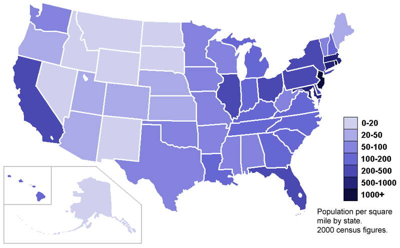
Unclassed choropleth are maps that use shadings techniques propotional to the data values so that these choropleth maps do not have to classify the data. This map shows different racial/ ethnic diversity in Los Ageles county in Califonia City by the use of shaddings.


![[isopleth.gif]](https://blogger.googleusercontent.com/img/b/R29vZ2xl/AVvXsEhMml_lr71SwiJO_xaQZG1MpyjUoXbl2fLS0NHBqX8p_Wdb5V_RXFtPCjY9bi-7DMy-cxZHpYl3cZ1X8Ur-_ne2hqcZoBcOQFXE7XjRfCVcBnlPswsRjJ6FP_IFPz3qGjX1M01_YQ_1xNY/s1600/isopleth.gif)

 Isopach are contours that connect points of equal thickness. This is a Isopach map of Woodford Shale in Hunton Group in the anadanko basin of Oklahoma.
 Univariate Choropleth shows only one set of data. This map shows median income of each states population as provided by U.S census Bureau.